97km / 60mi ~ 4-7 days ~ Waypoints 24 to 29
Tuna, Oysters, Harbours & Brews

Section 25: Souris to Howe Bay – 20km / 12.4mi
Start your walk on the shoulder of the road from the beautiful Eastern town of Souris towards Fortune Bridge. As you walk, you will encounter stunning vistas of the Fortune River. You will also walk right past Canadian celebrity chef Michael Smith’s Inn At Bay Fortune.
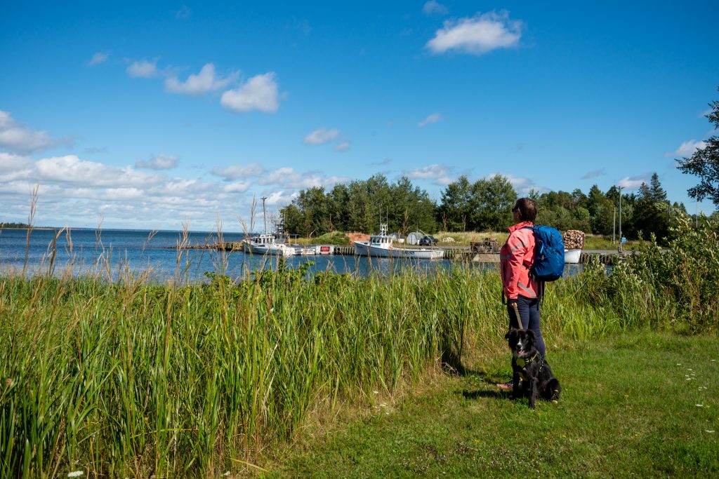
Continue into Howe Bay and enjoy the fishery and blueberry fields. Stop for the night at Ned’s Landing at Spry Point where you can enjoy a delicious charcuterie board and wine, and also stay in their hostel, The Barn at Spry Point.
Ned’s Landing at Spry Point
The Barn at Spry Point (hostel)
– Transportation to/from the route available

Section 26: Howe Bay to Cardigan – 24km / 15mi
The next part of your walk will take you on quiet red dirt roads through Dundas and past the villages of Bridgetown and Primrose. These two small villages are the new home to a growing number of Amish farmers who have built their school and small businesses along the highway. Keep an eye out along this part of the walk for friendly llamas who love human attention. When you are coming into Cardigan, you will catch a view of the beautiful harbour. Check out Clam Diggers restaurant for a delicious supper loved by locals.

Section 27: Cardigan to Montague – 12km / 7.5mi
Onward by way of a beautiful rail trail walk to the stunning town of Montague. The short 12 km walk from Cardigan will take you to amazing views coming into the Montague Harbour. When you arrive in Montague, be sure to check out the two local craft breweries, Bogside Brewing and Copper Bottom Brewing, and spice it up at the Maritime Madness Hot Sauce Shop. Dine at Famous Peppers Restaurant and stay for the night at Lane’s Riverhouse Inn & Cottages.
Section 28: Montague to Gaspereaux – 21km / 13mi
To avoid the busy Rte 4, head East towards Gaspereaux. Although this section is mostly a road walk, you will catch beautiful views of the towns of Three Rivers and Georgetown across the water.
WAYPOINT 28 SIDETRIP
Turn left at WP28 and head to beautiful Panmure Island Provincial Park where you will find a white sands beach, campground, food shack, bathroom and the Panmure Island Lighthouse, PEI’s oldest wooden lighthouse and museum and gift shop. You may just luck out and catch an event happening at the Panmure Island Cultural Grounds.

Section 29: Gaspereaux TO MURRAY RIVER – 20km / 12.4mi
Finish your walk towards the Eastern fishing village of Murray River and take in views of hidden harbours and fishing villages along your route. Be sure to reward yourself upon arrival at some of the quaint shops and excellent restaurants. At the end of your day, stay at The Olde Anchor Bed & Breakfast, camp or cottage at Ocean Acres Cottages & Campground, or head to nearby Nellie’s Landing and stay for the night in a floating wine barrel and take an e-bike sidetrip. You’ll never forget it!
The Old General Catering House
Ocean Acres Cottages & Campground
Nellie’s Landing Marina
This itinerary is part of the Points East Coastal Drive.
For more information on this region of PEI visit their website.

 Mount Stewart to Souris – Waypoints 19 to 24